Landglide!
August 22, 2024
I am sure you have heard about Google Maps, Waze, Apple maps and more. Most of these mobile apps rely on the phone GPS and locations services for point-to-point navigation by car, bus or by foot on city streets.
You may not be aware of a whole other category of location-based mapping tools. These other navigation tools are optimized for outdoor activities on the lake, hiking, hunting and more.
Take a moment to read about Landglide. This location-based map integrates satellite, topography, contour data, flood zone data, and building information with publicly available property records!
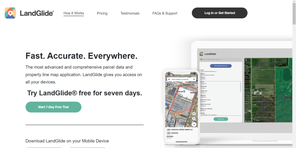
As you walk or drive, Landglide will overlay your moving location onto a map highlighting all property boundaries. It provides address, acreage, land use type, valuations and ownership information – based on the publicly available property records that Landglide has accessed.
Don’t expect instant updates when property changes hands, and don’t be surprised if there are occasionally errors in the public databases. Do expect to have your curiosity satisfied about that big beach house or that old mansion on the outside of town.
Of course, if you work in real estate, construction or related fields – you will find this a valuable work aid, and the monthly or annual fee might be justified as a business expense.
Check out the landglide.com website and take a look at the Landglide YouTube Demo. Remember, this is not a substitute for surveying expertise. GPS and location services in a mobile phone are not pinpoint accurate, but certainly sufficient to find markers, survey pins and other distinguishing features of a piece of property.